At Pinnacle Innovation (PI Jordan), we empower organizations to make smarter, data-driven decisions through advanced geospatial solutions. In an increasingly interconnected world, geography is the thread that ties your data together. Our consulting services bridge the gap between complex spatial data and practical business insights, helping you unlock the full potential of Location Intelligence.
Our Core Geospatial Offerings
We don't just provide maps; we provide clarity. Our suite of services is designed to integrate seamlessly into your existing IT infrastructure.
GIS Strategy & Implementation
Deploying a Geographic Information System is more than just installing software. We provide tailored roadmaps for integrating GIS into your core operations, ensuring that spatial data flows effortlessly across your departments.

Spatial Data Analysis
Data without context is just noise. We transform raw geospatial data into actionable insights. Our analysts specialize in:
Urban & Regional Planning: Visualizing growth and infrastructure needs.
Risk Assessment: Identifying geographic vulnerabilities for insurance or disaster management.
Resource Optimization: Mapping assets to reduce operational costs.

Mapping & Visualization
Bring clarity to complex spatial relationships through high-impact visuals. We develop:
Interactive Web Dashboards: Real-time data monitoring at your fingertips.
3D Spatial Models: High-fidelity digital twins for construction and urban development.
Custom Cartography: Maps designed for specific stakeholder communication.

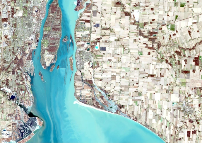
Remote Sensing & Satellite Imagery
Leverage the "eye in the sky." We provide cutting-edge analysis of satellite and aerial imagery for:
Environmental Monitoring: Tracking land use and vegetation changes.
Infrastructure Projects: Monitoring progress and structural integrity over time.
Change Detection: High-frequency analysis of geographic shifts.

GIS Training & Capacity Building
We believe in empowering your team. Our customized training programs are designed to equip your staff with the technical skills required to manage and leverage geospatial technologies independently.